PAKISTAN LAND
 Image sours of (www.google.com)
Pakistan is a beautiful country. It is land of high mountains, uplands, plateaus, plains, deserts, rivers and coastal areas.
Pakistan has 6 major geographical regions.
(01) The Northern Highlands.
(02) Low mountains and hilly areas.
(03) The Indus plains
(04) The Balochistan plateau
(05) Deserts
(06) Coastal area
(01) The Northern Highlands.
In the north of our country we have high mountain ranges. The great Himalayas, Karakoram and Hindukush mountains lie here. These are covered with snow and glaciers. This snow is the main source of water for our land. K-2, the highest peak in Pakistan, stands here. It is 8619 metres high. The Karakoram Highway (KKH) passes through these mountains. It is the highest trade route in the world. It was once called silk Route.
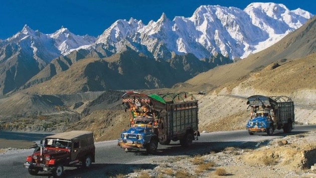
Image sours of (www.google.com)
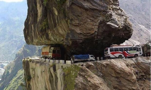
Karakoram Highway
Image sours of (www.google.com)
(02) Low mountains and hilly areas.
Then there are low mountains and hilly areas having lush green valleys and beautiful lakes. There are thick forests of timber. These valleys are tourist resorts. Chitral, Quetta, Dir, hunza, Kaghan, Swat and Gilgit valleys are very famous. There are orchards of good quality fruits such as apples, peaches, apricots, pears, plums, cherries and almonds (N.W.F.P, Balochistan).
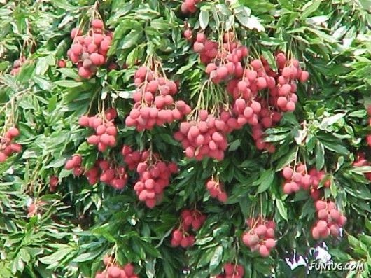
Image sours of (www.google.com)
Some low Mountains and hills are barren and rocky. These areas are a rich source of minerals and gems like oil, natural gas, rock salt, coal, copper, lead, gypsum, marble, iron ore, etc. There are large salt mines in khewra and kalabagh in Punjab;
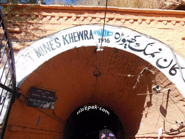
large salt mines in khewra and kalabagh in Punjab;
Image sours of (www.google.com)
(03) The Indus plains
We have flat land in Punjab and Sindh. This flat land is called Indus plains. These are fertile plains. Do you know that we have the world’s largest canal irrigation system? So, many crops like wheat, rice, sugar cane, cotton and maize are grown here.
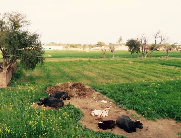
Image sours of (www.google.com)
(04) The Balochistan plateau
The Balochistan Plateau is situated in the province of Balochistan. The average altitude of the Balochistan Plateau is 2,000 ft.

Image sours of (www.google.com)
(05) Deserts
In the south east of Pakistan, there are the sandy deserts of cholistan and Thar. There are about 400 salt lakes in Sindh. Salt and soda ash are extracted from these lakes.
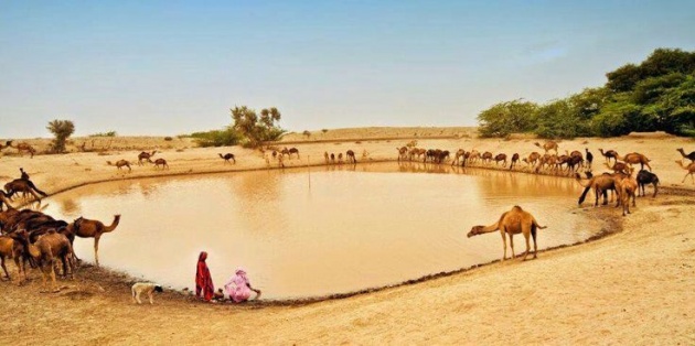
Image sours of (www.google.com)
(06) Coastal area
In the south, Pakistan has a coastal line of 1050 km. this area is a big source of sea fish and prawns. There are seaports like Karachi port, port Qasim, Geadar port and mini-port Pasni.
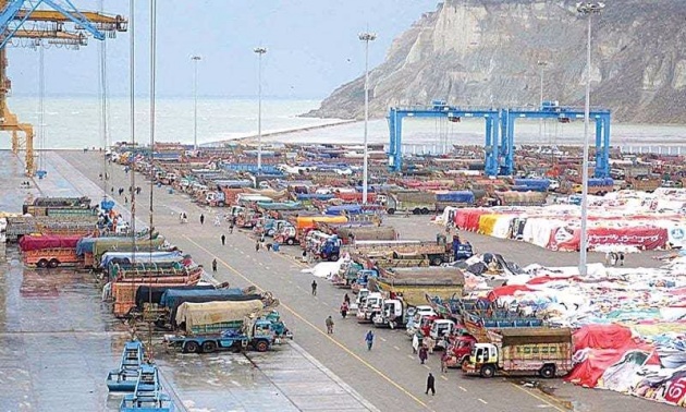
Image sours of (www.google.com)
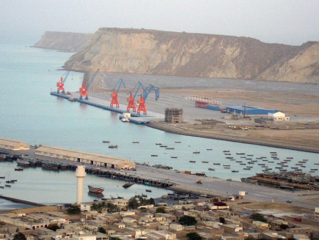
Image sours of (www.google.com)
Videos
Most beautiful country and people-Pakistan!
Videos source of you tube.com
Top Ten Most Beautiful Places in Pakistan | The Pioneers Presentation
Videos source of you tube.com