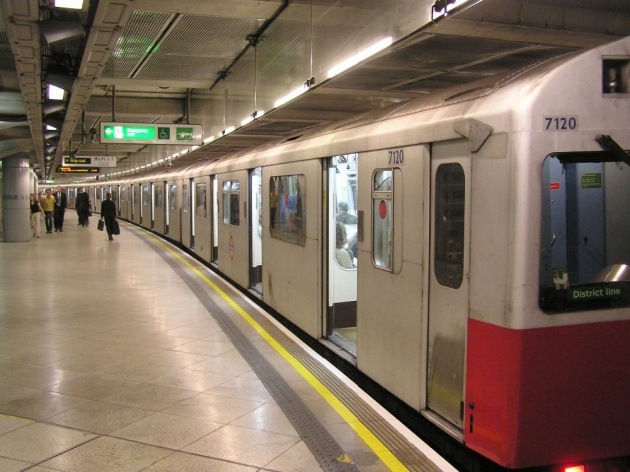
There are different modes of transport that is used for commuting from one place to other. Around world, there are different ways and methods that is used for travelling from one place to other. London, UK, is a place where people use “Tube’s” or “Metro Rails” for travelling across London. Tubes are main source of travel and it is connected with help of a big network or chain of underground trains. For a person who is new to London and if they are willing to use metro trains or tubes in London, then they should have London Subway Map along with them. It is very important because subways of London are very big and is spread across whole London. It not only shares its routes in London but it has also been spread to some more parts outside London and people use tubes to reach those places. There are total “260” stations that every tube in London crosses. Subway maps are important as traveling through a tube can be a intimidating situation. Nevertheless, if a person gets familiar to tubes with help of a subway map then they will not be facing any sort of problem in travelling in London subway.
A London Subway Map is easily available at different underground transport stations or it can also be obtained through official website of London subways. A person has to decide first that which destination they have to reach. There is a facility of travel planner on the official website; it helps a person in deciding which route to take for reaching their destination in a quick and easy manner. All stations and routes are marked or coded in different colors. This also helps a person in deciding which train or tube to catch next if they have to change their tubes for reaching their desired destination. There are different types of tickets available as per destination, with help of a subway map, it can also be decided that how much cost a person has to incur for travelling to their desired location.